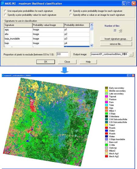
Land Cover Mapping and the Use of Spatial Priors for Forest Classification MAXLIKE module and resulting classification usingpriorprobabilities. Post navigationPrevious post: Land Cover Mapping and the Use of Spatial Priors for Forest Classification