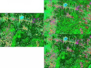
Comparison of classifications. For better comparison, only a window of the complete classification is shown here. A: classification year 2000; B: classification year 2001 using equal probabilities; C: classification year 2001 using the prior probabilities derived from the 2000 classification.

