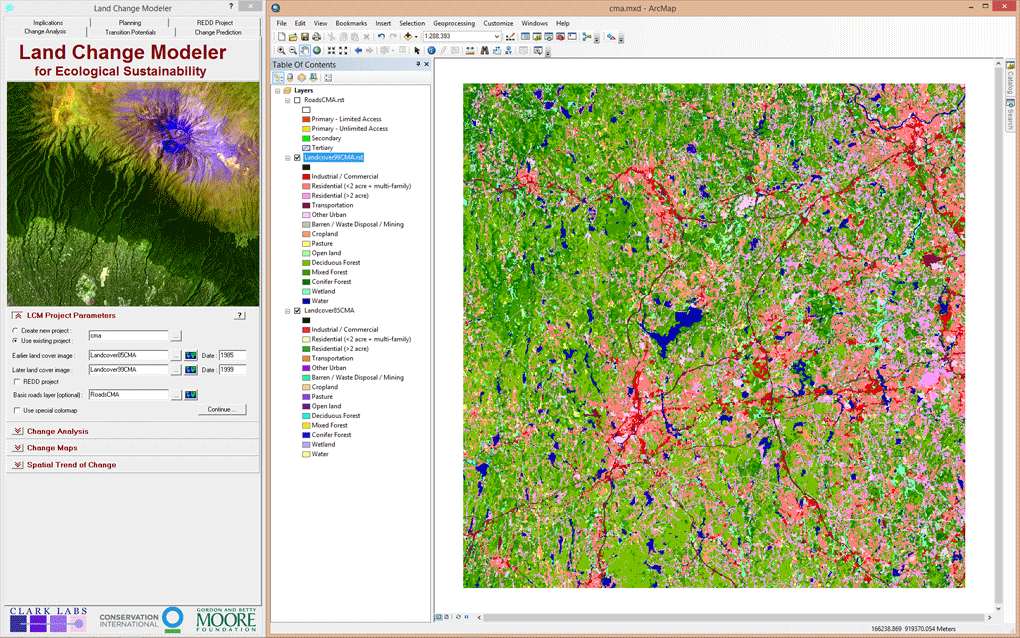
The Land Change Modeler for ArcGIS Extension is an innovative land planning and decision support software tool that is critical for smart development, biodiversity conservation and the management of climate mitigation strategies such as REDD (Reducing Emissions from Deforestation and forest Degradation). The Land Change Modeler for ArcGIS extension analyzes historical land cover data to assess, model and predict land cover change using powerful machine learning procedures.