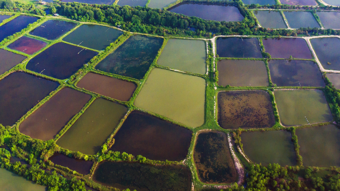
Clark Labs, in partnership with the Gordon and Betty Moore Foundation and in support of the Foundation’s Oceans and Seafood Markets Initiative, is mapping an inventory of pond aquaculture and coastal habitats around the world. Seventeen countries are being mapped for landcover for the years 1999, 2014, 2018, 2020 and 2022. Along with landcover, for each country a change analysis is performed at the provincial or state level between all years mapped. All data are available for download through the links below. Updates to the data and web map will occur as the data becomes available. In addition to downloading the data you can explore the data using an interactive web map.
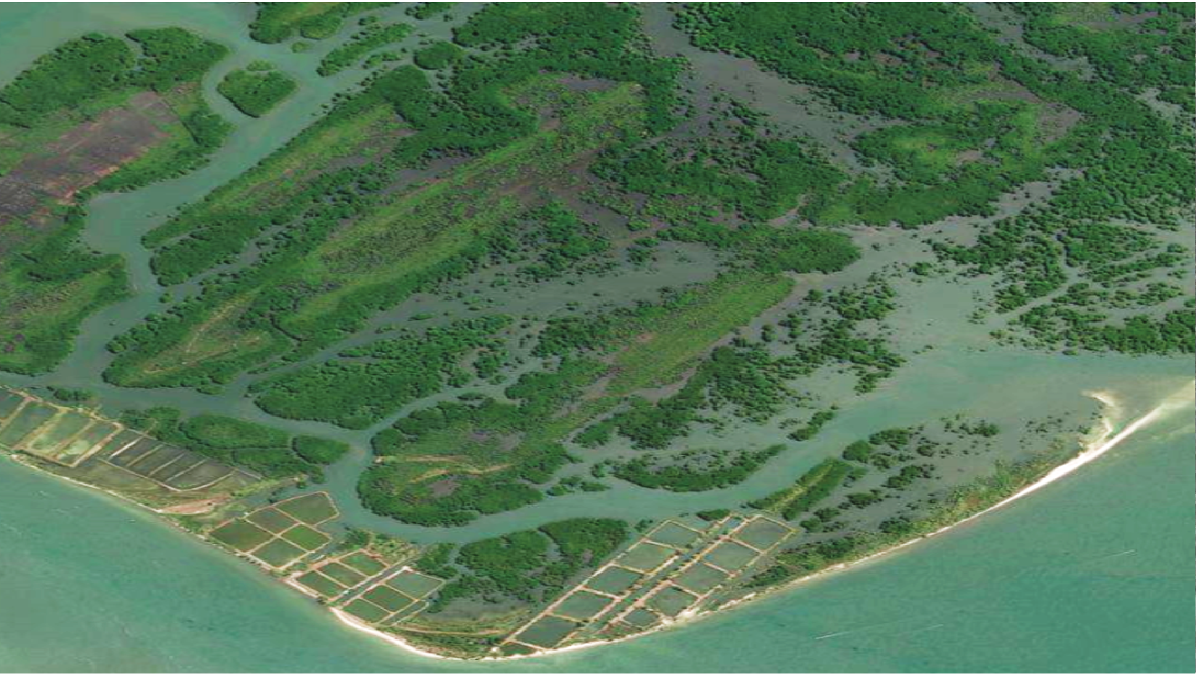
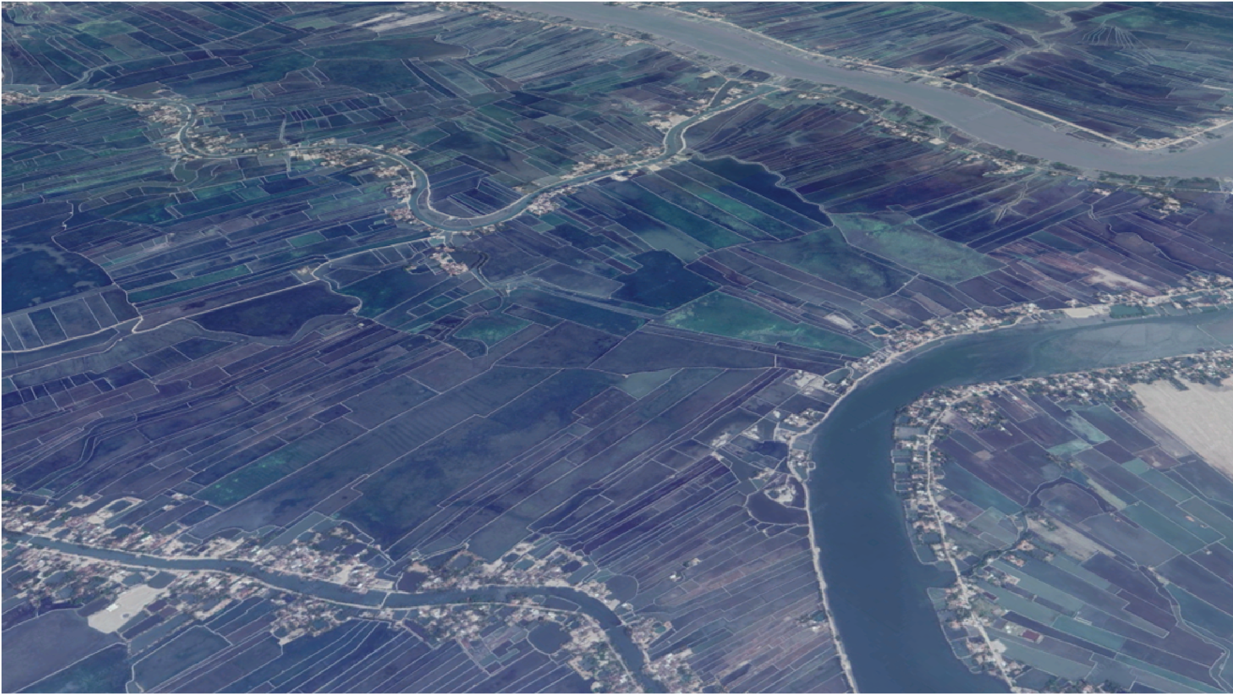
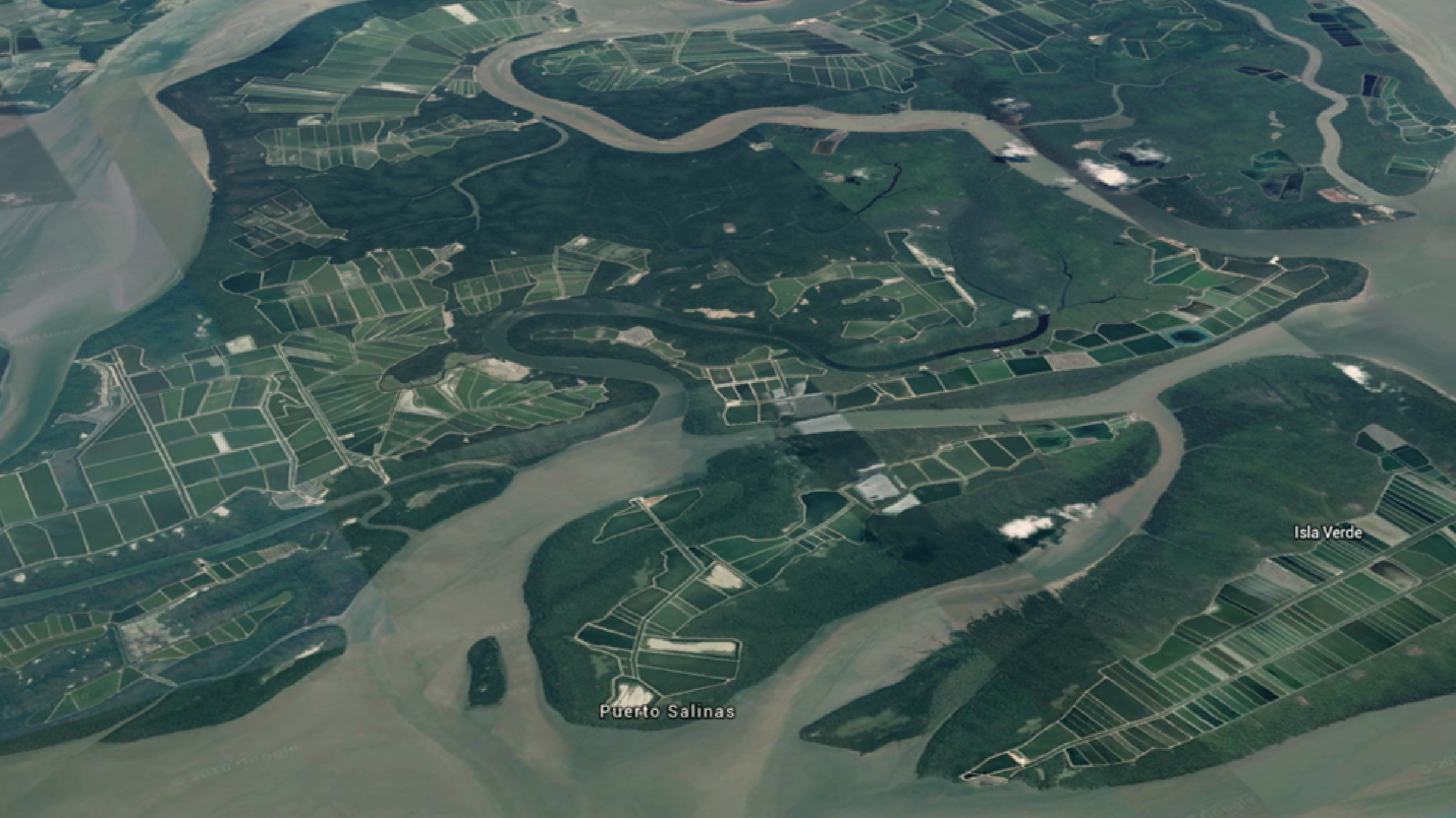
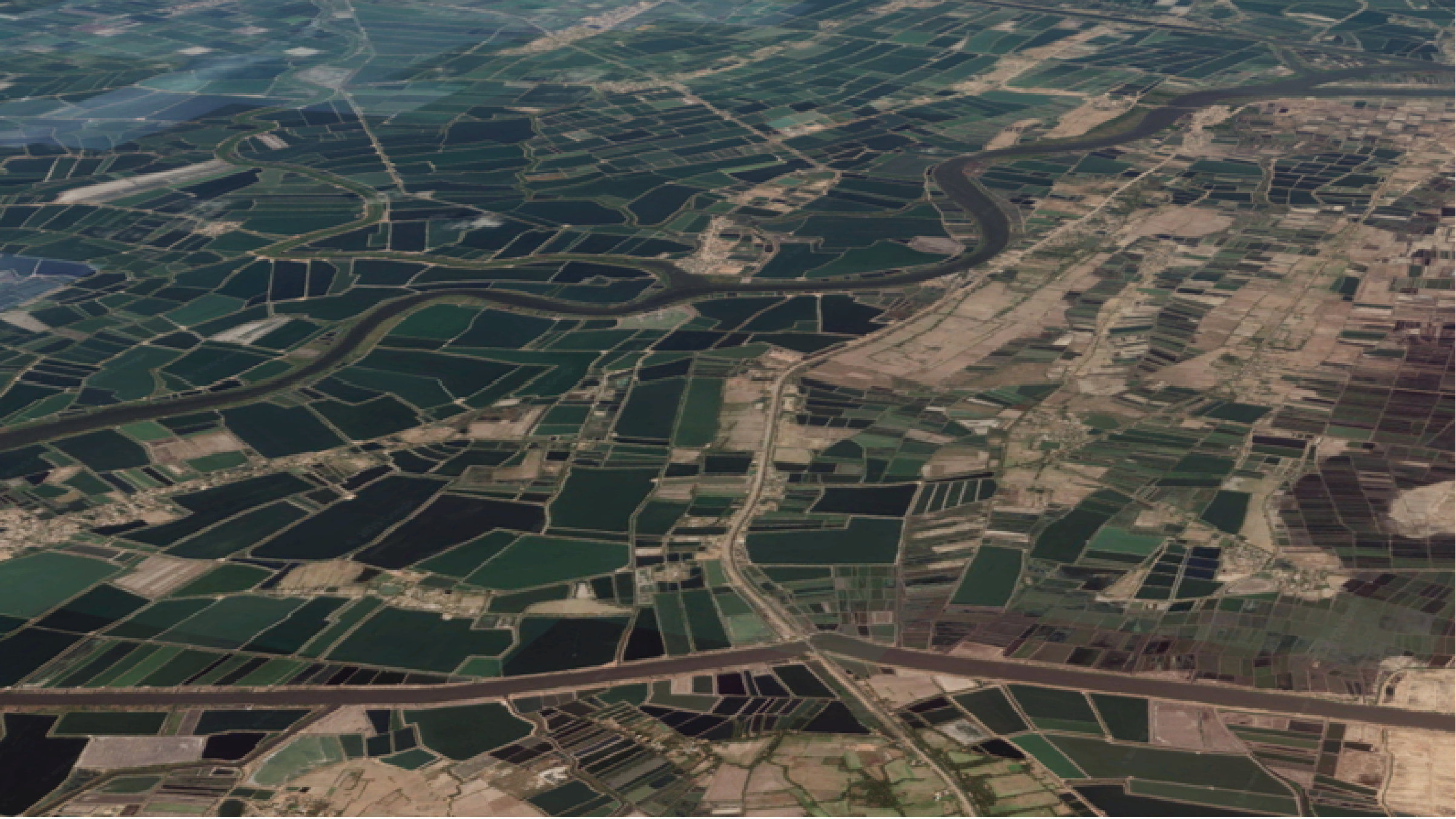
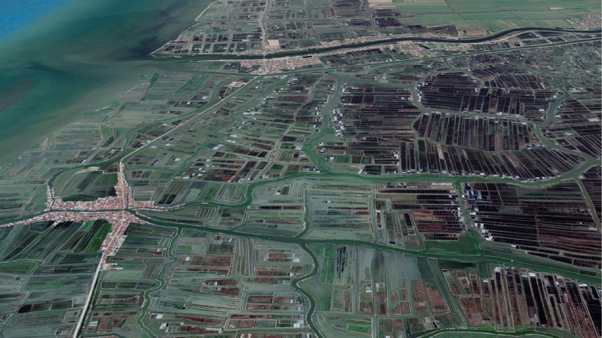
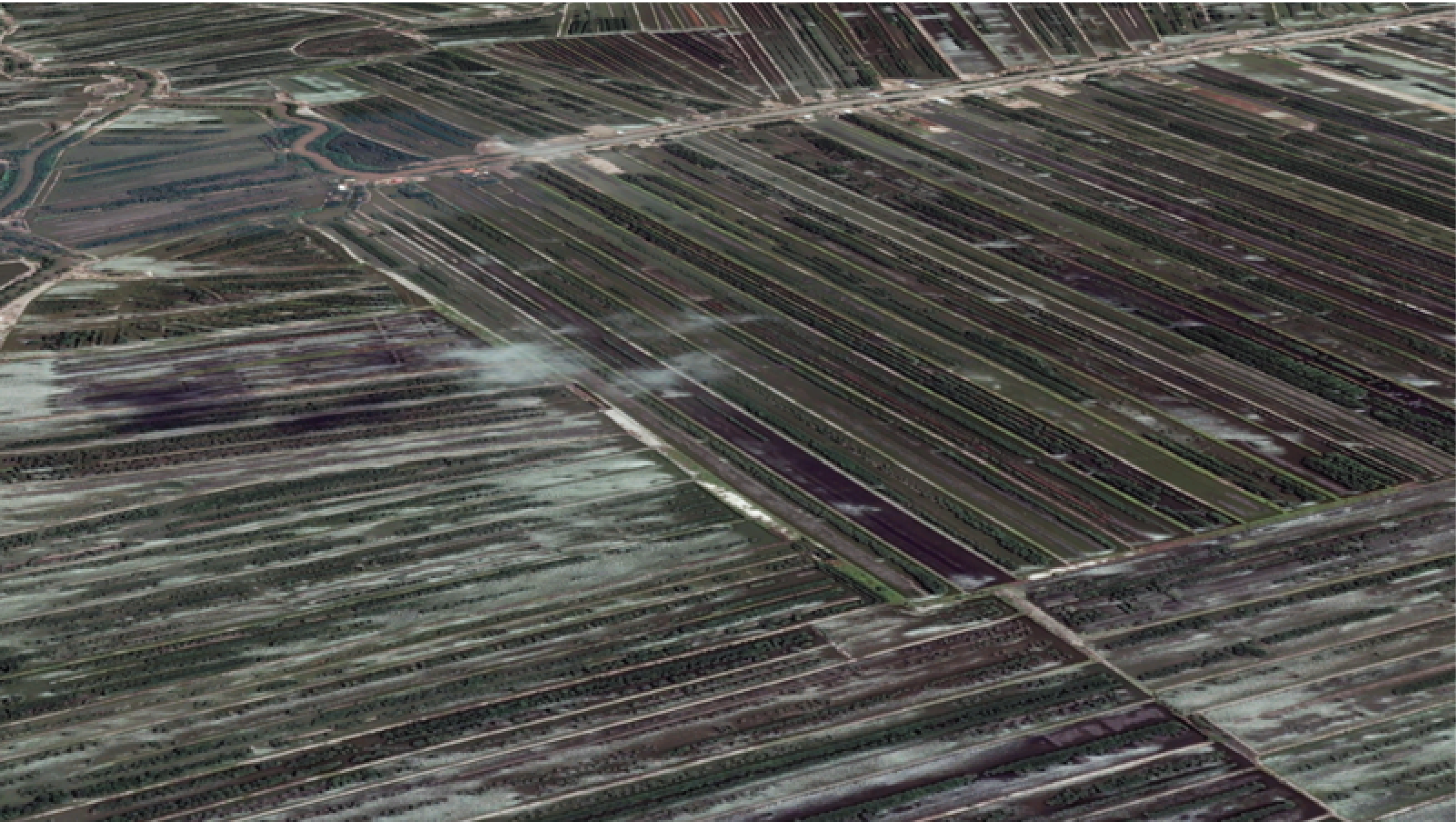
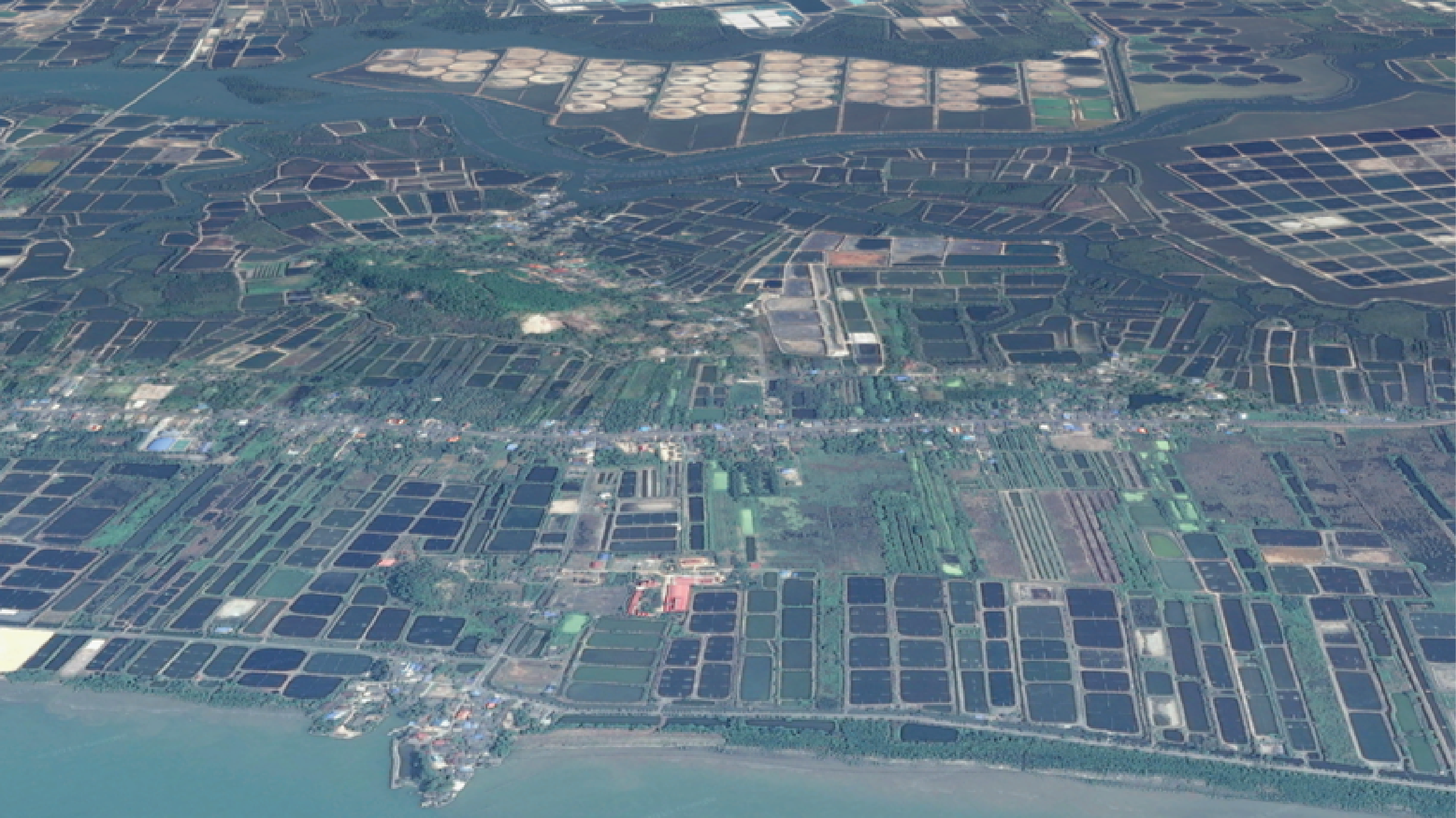
The landcover maps for 2014, 2018, 2020 and 2022 are based on Landsat 8 imagery and the landcover maps for 1999 data are based on Landsat 5 imagery. Three main landcover categories are mapped: mangrove, coastal wetland, and pond aquaculture. When possible a distinction is made between fresh and brackish pond aquaculture. The study area of the coastal zone for mapping landcover is defined as a zone 10 km on either side of the coastline. Where necessary, the zone is extended to include land areas <= 5 m in elevation to a maximum extension of 60 km inland from the coast. The primary concern is to limit the inland extent to areas where it was likely that pond aquaculture would be dominated by brackish water and thereby have a stronger likelihood of being used for shrimp. Additionally, for select countries the database includes a mapping of present-day vulnerability for further conversion to pond aquaculture and a mapping of the risk of landcover conversion to pond aquaculture by 2050. See the Reports page for complete detail on the methodology. As more dates become available they will be posted here.
Vulnerability of Land Conversion to Pond Aquaculture
Risk and Vulnerability Data can be found here.
These reports review the methodology for mapping, monitoring and reporting of land cover of coastal habitats in Myanmar, Thailand, Cambodia and Vietnam. Focus is on mangrove and pond aquaculture land classes including vulnerability and risk analysis of pond conversion.
Aquaculture and Coastal Habitats Reports
Aquaculture and Coastal Habitats Reports here.
These reports review the methodology for mapping, monitoring and reporting of land cover of coastal habitats in Myanmar, Thailand, Cambodia and Vietnam. Focus is on mangrove and pond aquaculture land classes including vulnerability and risk analysis of pond conversion.
